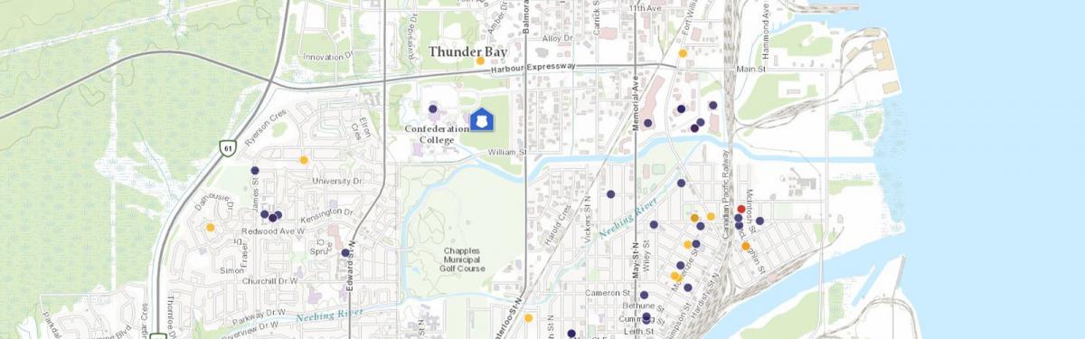
To view the interactive crime mapping tool please Go directly to CityProtect here. By clicking this link you will navigate away from the Thunder Bay Police Service website.
Knowledge is power in the effort to keep safe. The Thunder Bay Police Service is sharing important information on crime with our citizens. Now you can keep informed on crime and safety issues in your neighbourhood.
The aim of crime mapping is to engage the community in crime prevention. For example, most property crimes can be prevented by taking simple steps such as locking doors and removing valuables from plain view. If you know that these crimes are being reported in your neighbourhood, you can better prepare to protect your property.
This mapping service called City Protect also offers users the opportunity to receive email alerts based on the user’s location. This map is available on our website or by going directly to www.cityprotect.com. You can then zoom in to the map for Thunder Bay.
We are providing the public with the location of incidents involving crimes of violence, property crime and motor vehicle collisions (Other calls for service are not displayed). Homicides do not get displayed on this map because they are initially classified as "Sudden Deaths". Sudden Deaths are most often not suspicious in nature and can include suicides. We do not post these locations on the map. Homicide locations are conveyed to the public as part of a media release.
The data provided for this on-line crime mapping service comes from our computer aided dispatch or C.A.D. While the data is raw, it provides a good snapshot into where incidents have been reported. The exact addresses are not provided, only the block where the incident occurred. In order to protect privacy, no personal information is included in incidents mapped by this service.